

28 juin 2016


Publicité
Publicité
28 juin 2016
Sint Maarten island the dutch side
Although sighted by Christopher COLUMBUS in 1493 and claimed for Spain, it was the Dutch who occupied the island of St Martin in 1631 and began exploiting its salt deposits. The Spanish retook the island in 1633, but continued to be harassed by the Dutch. The Spanish finally relinquished the island of Saint Martin to the French and Dutch, who divided it amongst themselves in 1648.
The establishment of cotton, tobacco, and sugar plantations dramatically expanded African slavery on the island in the 18th and 19th centuries; the practice was not abolished in the Dutch half of Sint Maarten until 1863. The island's economy declined until 1939 when it became a free port; the tourism industry was dramatically expanded beginning in the 1950s. In 1954, St Maarten and several other Dutch Caribbean possessions became part of the Kingdom of the Netherlands as the Netherlands Antilles. In a 2000 referendum, the citizens of Sint Maarten voted to become a self-governing country within the Kingdom of the Netherlands. The change in status became effective in October of 2010 with the dissolution of the Netherlands Antilles.
23 juin 2016
Marigot is the capital of Saint Martin on the French side of the Caribbean island of St Martin
Marigot is the capital of Saint Martin, on the French side of the Caribbean island of St Martin.
Marigot st martin (french side) is the paradise of duty free trade, luxury and french fashion.
It's also a port with departures to St Barts and Anguilla.
What to visit while in Marigot St Martin :
- The market on the port.
- West indies mall next to the marina fort louis
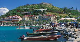
- Marina royale of marigot
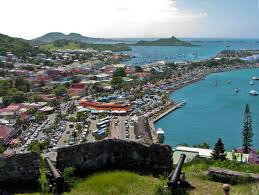
- Fort Louis Marigot
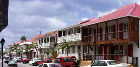
- Republic Street is the main street of Marigot with colonial facades dating from the 18th century.
- Catholic church dating from the 18th century.


23 juin 2016
St Martin island a Paradise in the Caribbean
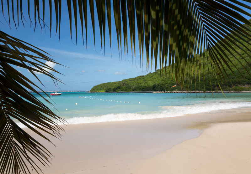
Welcome to St Martin island. The tiny (37 square miles) island located in the Caribbean is shared by 2 nations : french and dutch caribbean. The island of St Martin has 37 beaches on its entire territory !!
St Martin (french side) is a french territory.
Sint Maarten (ducth side) in an independent country part of the Netherlands Kingdom.


Publicité
Publicité